Bernal Branch Library
Excelsior Branch Library
Ingleside Branch Library
Portola Branch Library
This is installment nine of the pieces of the WPA map that are being displayed as part of the joint program, Take Part, between SFMOMA and the San Francisco Library. You can read the first eight installments here.
I apologize for the poor quality of the photographs. Most every model is under plexiglass and reflects not only the lighting from above but the light streaming in through the window.
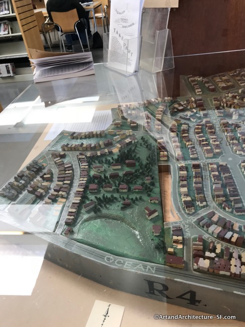
Bernal Branch Library
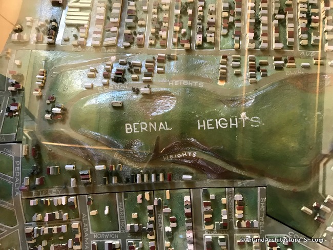
*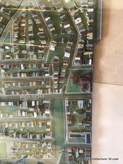
On the corner of Precita and Folsom is St. Anthony of Padua, which burned in the 1970s. When driving down, what was then Army Street, but is now Caesar Chavez you can still see the entry arch.
The long stretch of green is Precita Park. Established in 1894, it was then called Bernal Park, in 1973, the park was renamed after Precita Creek. It is where Carlos Santana would come to play his guitar on weekends, and the home to the first Carnaval in San Francisco.
Excelsior Branch Library
The San Francisco Campus for Jewish Living can be seen on the bottom left of the map. Originally built in 1891, the campus has, and continues to, grow and evolve. At the top right a portion of Monroe Elementary School can be seen, the school dates to the early 1900s, although the buildings have been upgraded since.
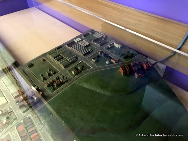
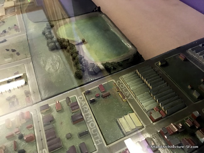
Ingleside Branch Library
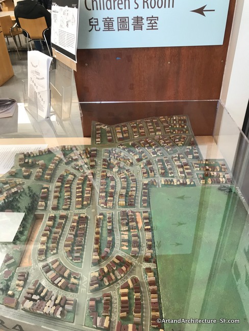
In 1885, Cornelius Stagg opened a roadhouse at the southeast corner of the Ocean Road and named it the Ingleside Inn. Ingle is a Celtic term for a domestic fireplace, and the source of the words inglenook—an alcove built into a fireplace, and Ingleside, an area beside a fire. When Adolph Sutro developed the area he named it Lakeview, a name that obviously did not stick.
According to Sanborn Map 1116, the cluster of buildings in the large green expanse on Ocean Avenue is the Pacific Hebrew Orphan Asylum. The buildings consisted of several cottages, a gymnasium, and a chapel.
The Pacific Hebrew Orphan Asylum and Home Society was incorporated in San Francisco in 1871 to assist in the care, relief, and protection of orphans and aged Jews. The mission of the Society was supported by B’nai B’rith’s District Grand Lodge, Number 4, also located in San Francisco.
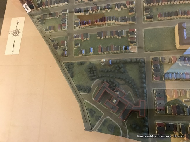
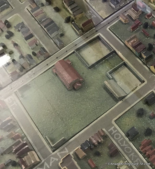
Portola Branch Library
The greenhouses seen in the center upper portion of the map were part of the Ferrari Brothers Nursery. The building to the south of Silver Street that sits in the large expanse of green was the Christian Church of the Golden Ru
This is the penultimate entry about the WPA map, please stay around for the last entry. That will conclude the visit to every branch library in the City of San Francisco to view this wonderful project.