This is installment seven about the pieces of the WPA map that are being displayed as part of the joint program, Take Part, between SFMOMA and the San Francisco Library. You can read the first six installments here.
I apologize for the poor quality of the photographs. Most every model is under plexiglass and reflects not only the lighting from above but the light streaming in through the window.
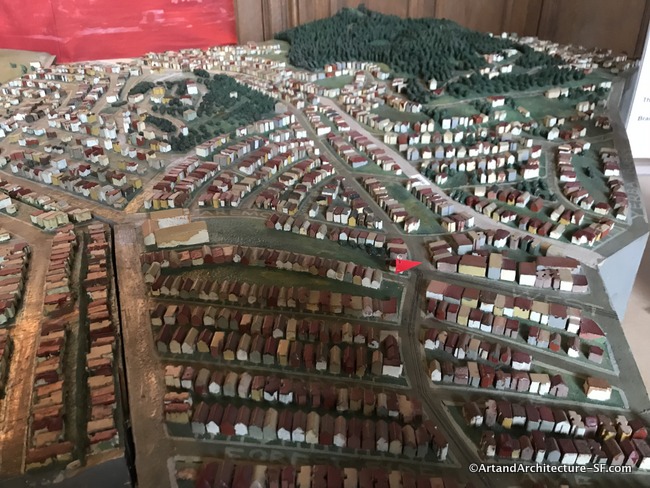
West Portal Branch Library
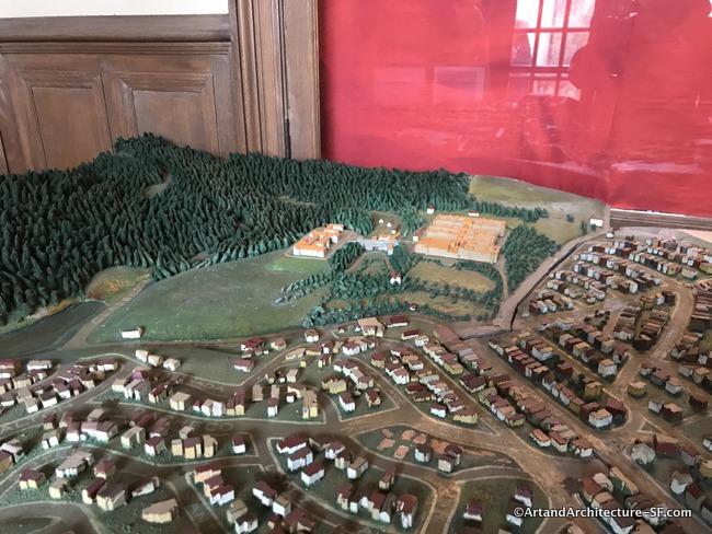
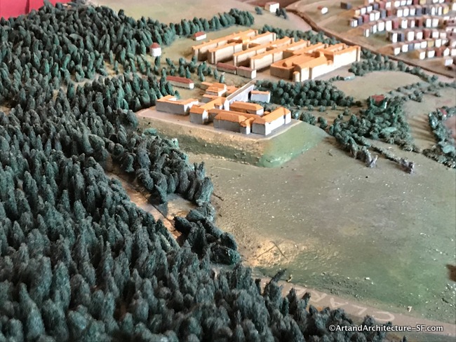
The tree-covered hill behind Laguna Honda Hospital is the Twin Peaks area of San Francisco. Today (2019) Twin Peaks has 1361 homes and a population of 2,726.
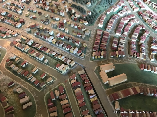
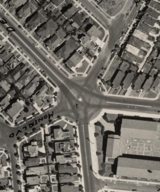
Many times the roads are not as true to the situation as they should be. This intersection is actually a roundabout, and as you can see in the aerial photo that was used to make the map, it was then as well.
The West Portal Library location is marked with the red flag. The piece representing the building must be missing as the library was also a WPA project built in 1938-1939 and it did appear on the aerial maps used for this project.
The large brown building to the left of the library is the West Portal Elementary School.
Merced Branch Library
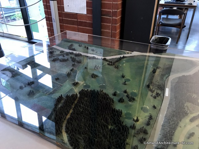
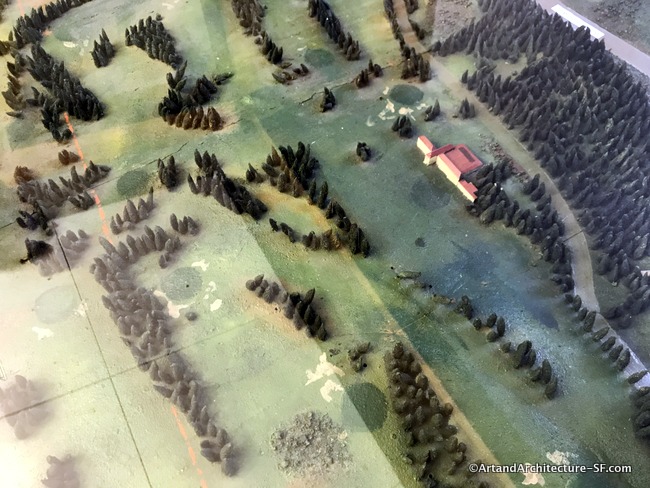 The orange line is the San Mateo County line. The red building, still within the San Francisco City limits is the San Francisco Golf Club.
The San Francisco Golf Club was one of seven golf clubs West of the Allegheny Mountains when it was founded in 1885. It moved to its present location in 1915. Part of the course is actually in Daly City in San Mateo County.
The course was designed by noted American golf course architect A.W. Tillinghast and its signature 7th hole overlooks the site of the last legal duel in California.
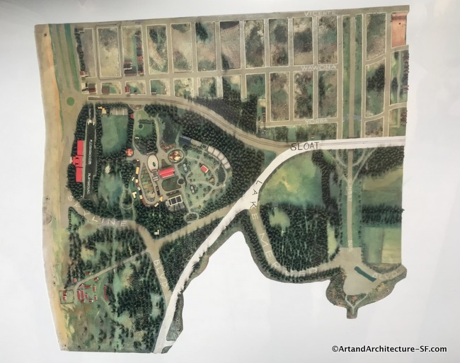
This was the first library I visited that had photos of the portion of the map that would have been adjacent to the one being displayed in their branch. I am very grateful to the librarians who actually displayed these maps.
This map shows another golf course in the area. The Olympic Club is on the bottom left. The San Francisco Zoo is between the wish bone formed by Sloat and Skyline Blvd. The long red building on the left of the zoo is the Fleishacker Pool.
Please come back to this site, I intend to write about every map at all of the branches of the San Francisco Public Library.