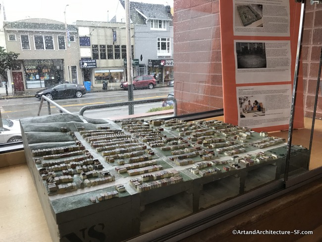
Sunset Branch Library
Ortega Branch Library
Parkside Branch Library
This is installment six of the pieces of the WPA map that are being displayed as part of the joint program, Take Part, between SFMOMA and the San Francisco Library. You can read the first Five installments here.
I apologize for the poor quality of the photographs. Most every model is under plexiglass and reflects not only the lighting from above but the light streaming in through the window.
Sunset Branch Library
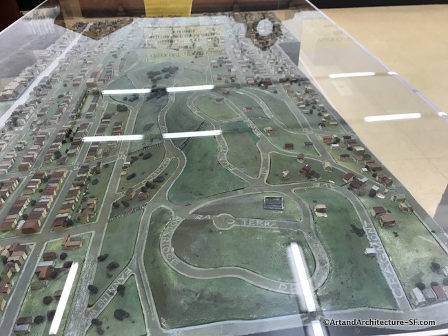
San Francisco was home to what was once the largest sand dune ecosystem in the western hemisphere. These dunes spanned seven miles, essentially the entire width of modern-day San Francisco.
Carl Larsen emigrated from Denmark in 1869 and began buying large amounts of land in these dunes. He donated this land now known as Golden Gate Heights to the city in 1924. Golden Gate Heights was laid out in 1927, the neighborhood’s windy streets hug the hills and break the strict grid overlaying most of the city.
Some homes were built in the 1930s, but as you can see when viewing the WPA map there were vast amounts of empty green space since most of the homes in this area were built in the 1950s.
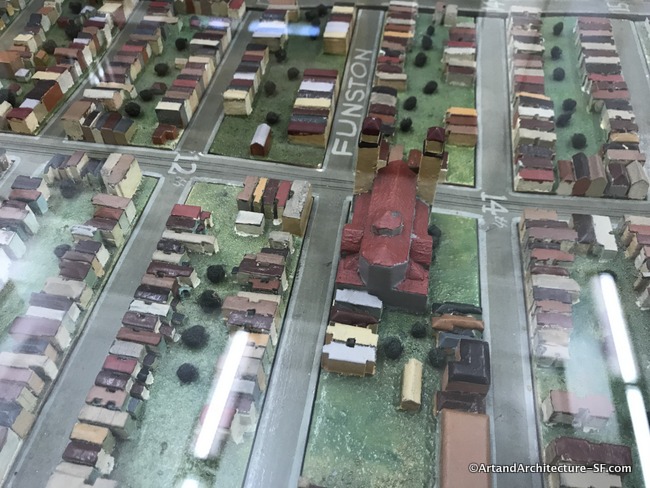
St Anne of the Sunset Catholic Church was one of the large buildings in the area during that time.
 The stairway at 16th avenue in Golden Gate Heights is covered in tiles and are now a wonderful piece of art.
 As are the stairs at 16th and Moraga
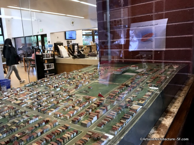
Ortega Branch Library
This area was fascinating for how sparse it also was in the 1930s.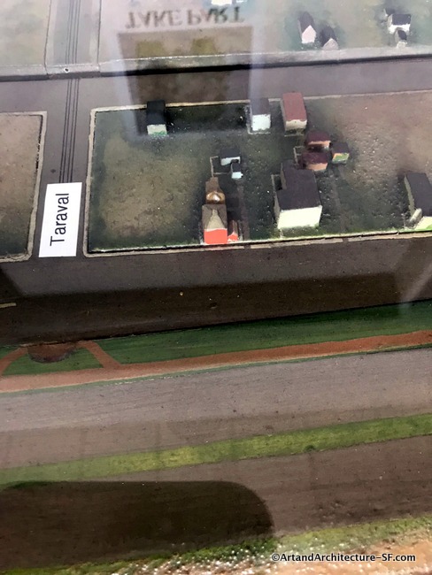
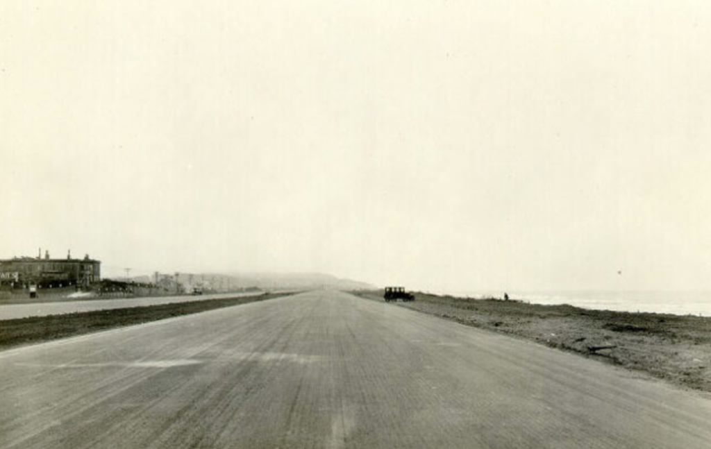
There was once a Shriners Hospital at Taraval and the Great Highway.
Notice the tunnel at the end of Taraval Street it can be seen at the far left in the green area just below the Taraval sign. This was constructed in 1920 to give people access to the beach. It was dismantled in the 1960s when sewer outfall pipes were installed. When walking the beach during very rigorous storms one can still see the remnants of the tunnel and its cobblestone floor.
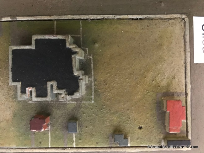
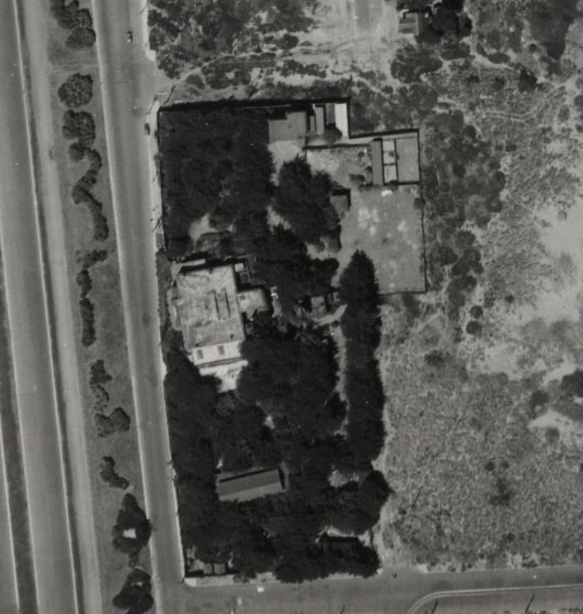
The above appears to be a grand home at Ulloa and The Great Highway, it is not listed on any Sanborn map and this is how it looks on the aerial photo that was used by the WPA for the project.
*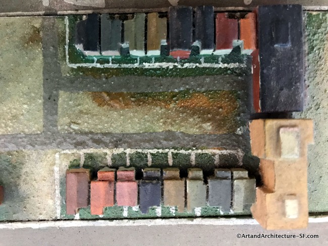
It is interesting to visit all parts of the map. If you do you can see how each artist left an individual style. This was the first map that showed what appear to be driveways and walkways into the homes rather than just small painted buildings.
Parkside Branch Library
The map at the Parkside Branch Library is divided into two pieces, one on each side of the entry foyer.
The two things that really stand out on this map is Abraham Lincoln High School and the Sunset Reservoir.
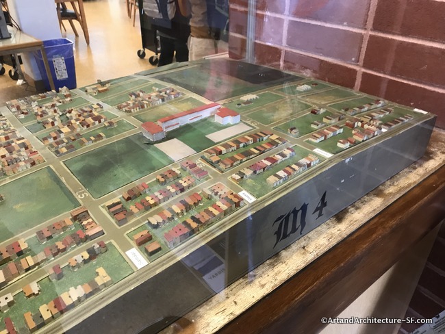
Sunset Reservoir is the city’s largest and is owned and maintained by the San Francisco Public Utilities Commission. Completed in 1960, the subterranean reservoir was constructed as an 11-acre concrete basin, which contains 720 floor-to-ceiling columns. The reservoir has a capacity of 270 acre-feet or 87,979,886 gallons.
Abraham Lincoln school was opened in 1940 after the map was built. This leaves one to ask if it was far enough along to be included or if it was part of the pieces added at a later date by UC.
There have been several prominent San Franciscan’s who graduated from Lincoln, including :
John L. Burton, Class of 1957 who was President of the California State Senate and former Congressman, Actress Barbara Eden, Class of 1949, Sculptor Richard Serra, Class of 1954 and BD Wong, Class of 1978 a television, film, and Tony Award-winning theater actor.
Please come back and visit, I plan to write about all of the 29 maps spread throughout the city.