Western Addition Branch Library
Anza Branch Library
This is installment four of the pieces of the WPA map that are being displayed as part of the joint program, Take Part, between SFMOMA and the San Francisco Library. You can read the first three installments here.
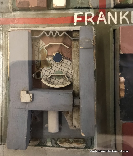
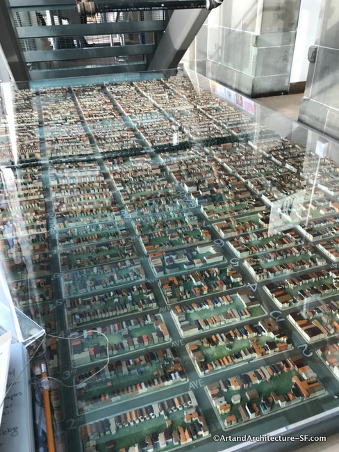
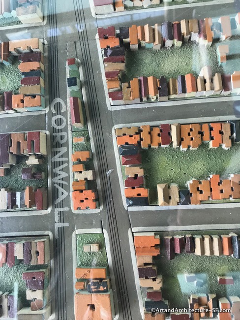
I apologize for the poor quality of the photographs. Most every model is under plexiglass and reflects not only the lighting from above but the light streaming in through the window
Western Addition Branch Library
The pieces at the Western Addition Branch Library not only does not show what was there, but it shows what is not there. Bear with me and remember the model was used as an urban planning tool at UC Berkeley and at times was updated by students and professors. This update clearly shows what they thought was going to happen, and not what actually did.
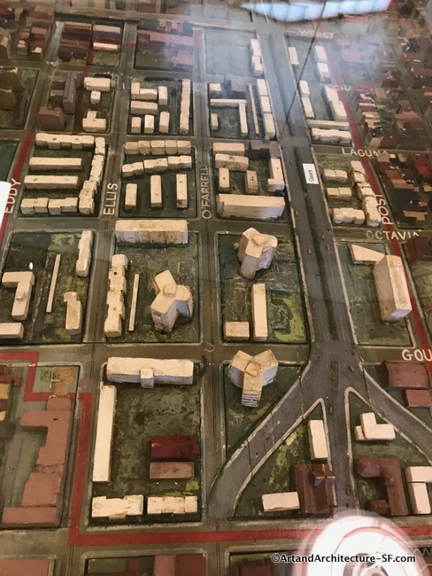
After World War II, American cities were transfixed by a social experiment called urban renewal, and the Western Addition was part of this experiment. The exact area can be seen redlined on the WPA map.
The “purpose” was to raze slums and revive city centers. This was encouraged in the 1949 State of the Union address by then-President Harry Truman who touted slum clearance as a weapon to combat the housing shortage the nation was experiencing due to the end of the war.
In San Francisco, a 1945 San Francisco Chronicle op-ed stated, “nothing can be done to improve housing conditions here until a lot of people clear out.”
The Western Addition had become the home to the many African Americans who moved to San Francisco looking for work in war-related industries. From 1940 to 1950, the population of African Americans in the Western Addition increased from 2,144 to 14,888. These statistics come from a detailed study of this subject by Jordan Klein, a Master of City Planning Candidate at the University of California, Berkeley.
In June of 1948, the San Francisco Board of Supervisors designated the Western Addition as a “blighted” area, using the area’s crime statistics as evidence. They then greenlighted the redevelopment process and its resulting removal of the African American and Asian population living in the Western Addition.
Not much progress was made for the first ten years and then Justin Herman took the helm of the Redevelopment Agency. He single-handedly led the steam roller called urban renewal
In 1960, Geary Boulevard was demolished and work began on a portion of the Geary Expressway. This was just one of five new freeways that were planned to run throughout San Francisco as the transportation mode of the future. The large dip that Geary Boulevard takes at Webster Street is a remaining scar of this failed freeway concept.
In 1967 a group of concerned citizens began petitioning the city to stop the destruction of the Western Addition. Sadly by the time construction was halted 883 businesses had been closed, 20,000 to 30,000 residents were displaced, and 2,500 Victorian houses were demolished.
For a full understanding of what happened during this period of time, I suggest the chapter “The Haunted House” from the book “Cool Gray City of Love” by Gary Kamiya.
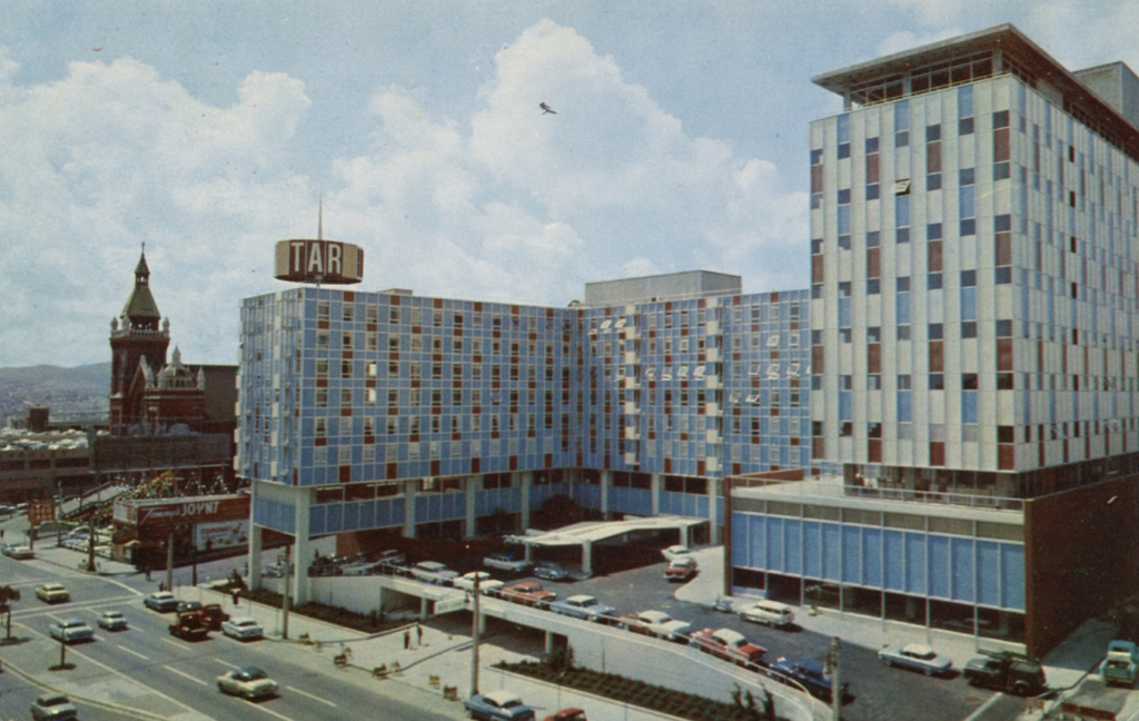
The Jack Tar Hotel stood on a square block of Van Ness Avenue between Geary and Post streets for 53 years. It was called the Cathedral Hill Hotel from 1982 until it closed in 2009. When it opened in 1960 it was called “the most modern hotel” and “the world’s most completely electronic hotel offering … dazzling innovations in that field.” It had closed-circuit television a swimming pool and an ice rink on the roof. There were 403 rooms and a 450-car garage, it also included a 12-story office building. It was the first new hotel built in San Francisco in 30 years and the first to have air conditioning.
However, its modern architecture did not sit well with San Franciscans and it was called “the box Disneyland came in,” “the Wurlitzer Hilton” and “Texas’ idea of what Los Angeles looks like.”
Demolished in 2013, the newly constructed California Pacific Medical Center now stands on that block
Anza Branch Library
This project will continue until March, please come back and keep up with the project. I hope to get to each piece of the map in every one of the branch libraries.