Richmond Branch Library
Park Branch Library
This is installment five of the pieces of the WPA map that are being displayed as part of the joint program, Take Part, between SFMOMA and the San Francisco Library. You can read the first four installments here.
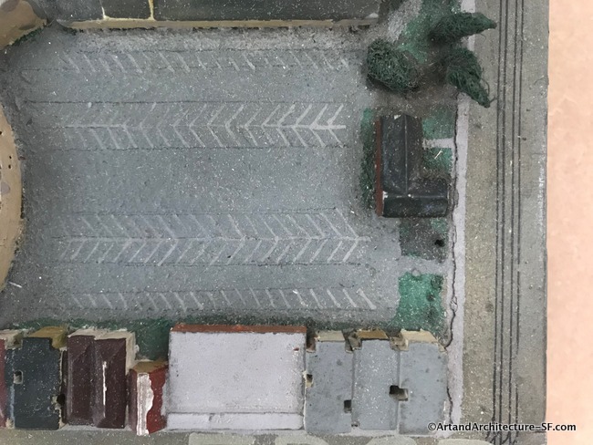
I apologize for the poor quality of the photographs. Most every model is under plexiglass and reflects not only the lighting from above but the light streaming in through the window.
Richmond Branch Library
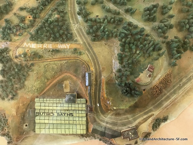
The map at the Richmond Library is a fun walk down memory lane. In the photo above you not only can see the well-marked Sutro Baths but the Cliff House and the remains of Sutro’s home on the hill.
Then to top it off Playland is still on the map.
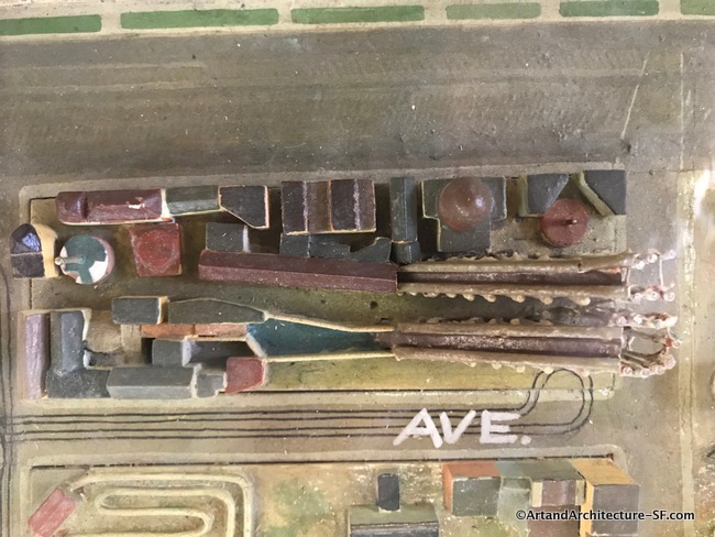
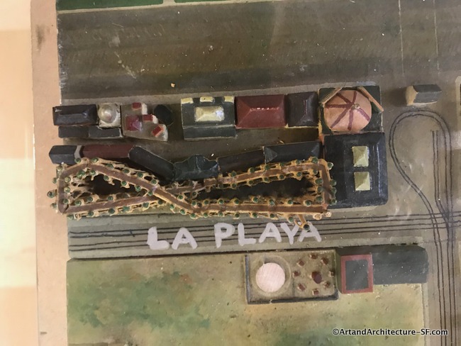
For those not familiar with San Francisco history Playland was a 10-acre amusement park located next to Ocean Beach, in the Richmond District along the Great Highway. It began as a collection of amusement rides and concessions in the late 19th century and was known as Chutes At The Beach as early as 1913. It closed Labor Day weekend in 1972.
Park Branch Library
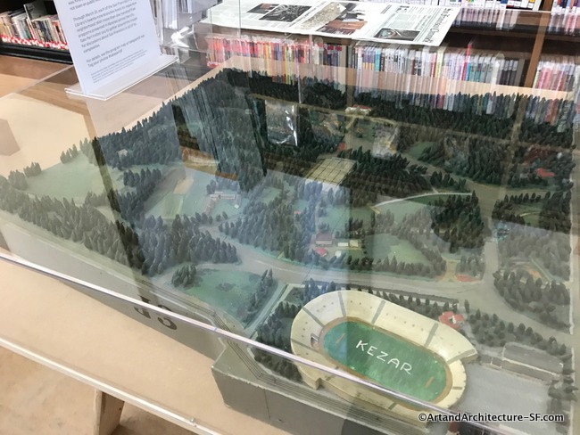
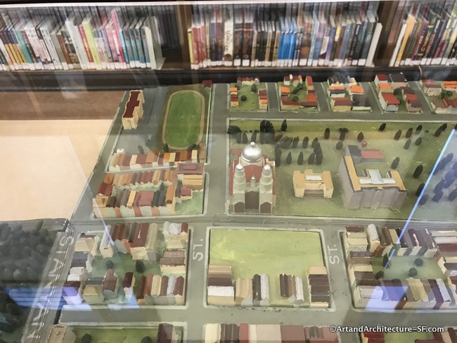
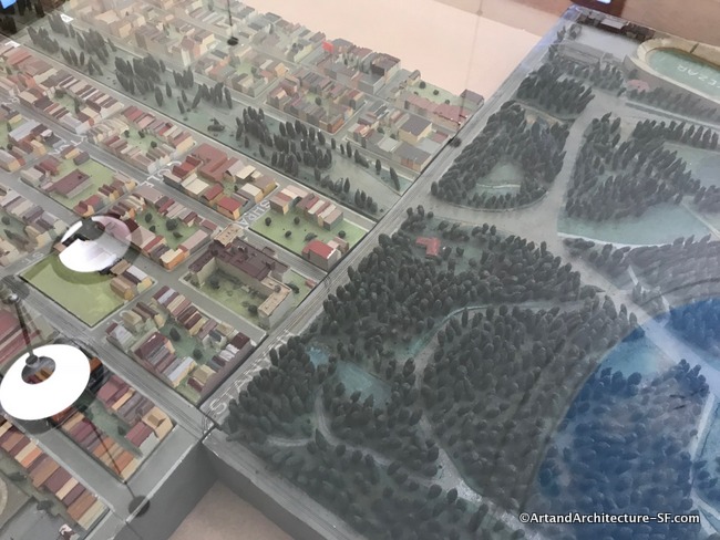
Today Fell and Oak feed into the park at Stanyan. Here the map shows how the roads once were.
Please come back often, I will be adding pieces of the map as I visit the libraries through the months of February and March.