Tag: Maps
-
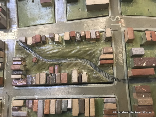
WPA Map of San Francisco – Part 2 – SFMOMA, Mission, Noe Valley and Eureka Valley Branch Libraries
SFMOMA Mission Branch Library Noe Valley Library Eureka Valley Library This is the second post in a series covering the joint SF Library system and SFMOMA project Take Part showing the map of San Francisco built by the WPA. Click here for Part 1 SFMOMA The hub of the San Francisco commuter bus and Greyhound…
-

Lover’s Lane
Lover’s Lane The Presidio There is a small trail in the Presidio titled Lover’s Lane. It has a well known history that you can read on the plaque found at one end of what is still existing of this trail. The sign reads: “This trail has witnessed the passing of Spanish soldiers, Franciscan missionaries and…