Unity Plaza
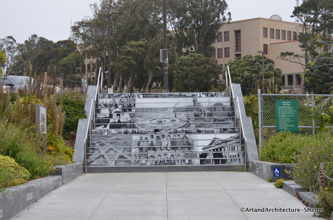
Opened in 2016 Unity Plaza features a new pedestrian path that stretches from the north side of Ocean Avenue to the City College campus. The path, created in partnership with City College, features an integrated landscape and this stairway that features a collage of historic photographs of the neighborhood laid out on the steps.
In 2009, the Balboa Park Station Area Plan was adopted by the City and County of San Francisco. This was the culmination of a 10 year Better Neighborhoods Planning Process.
The plan also included a reconfiguration of the Phelan Bus Loop, now known as City College Terminal and the affordable housing project on 1100 Ocean Ave. Unity Plaza occupies the space between the bus loop and the housing development.
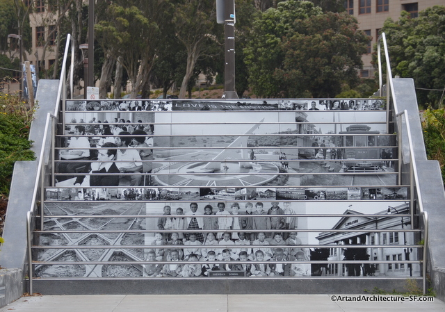
Some of the larger scenes in the stairway consist of:
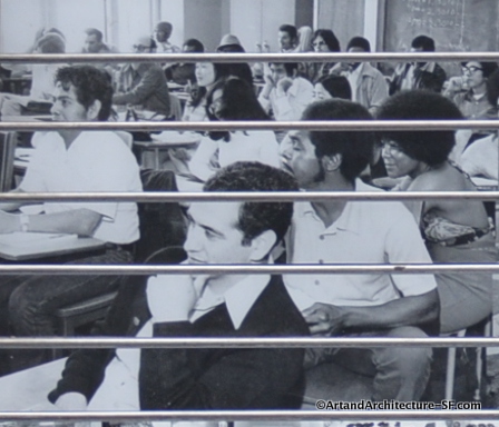 City College students, taken in 1973
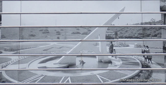 The Sundial at Ingleside Terrace
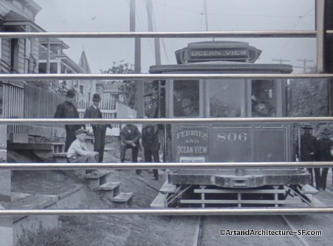 Street Cars
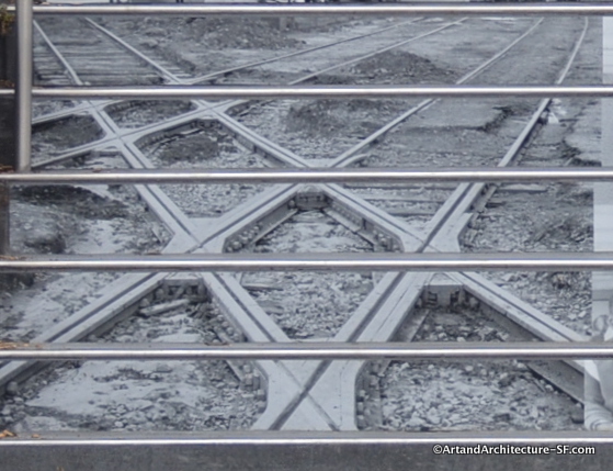 The Rail and Streetcar Intersection in 1904
 The Ingleside Presbyterian Church founded in 1907
The project was created by Wowhaus Studios who have been in this site before. They are photographs printed on porcelain enamel tiles and installed in the risers. Wowhaus sourced the images directly from community members and the library archives.
This was paid for by the San Francisco Arts Commission with a budget not to exceed $15,000.