UN Plaza
Civic Center
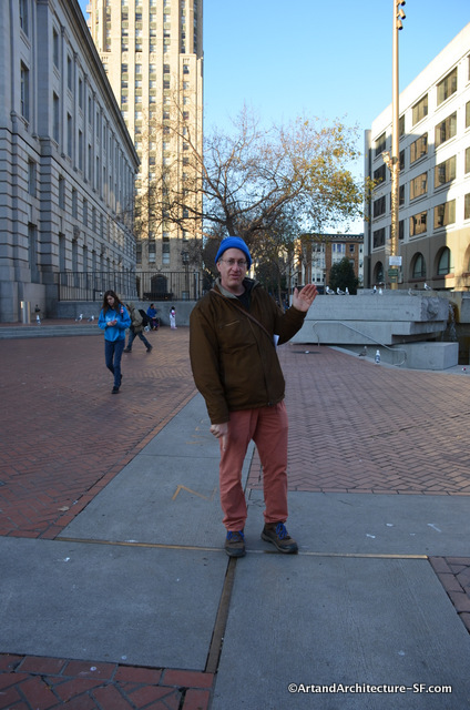
What in the world is that brass cross in the middle of UN Plaza? That is Joel Pomerantz of Thinkwalks pointing to something most San Franciscans probably don’t even know is there, or why.
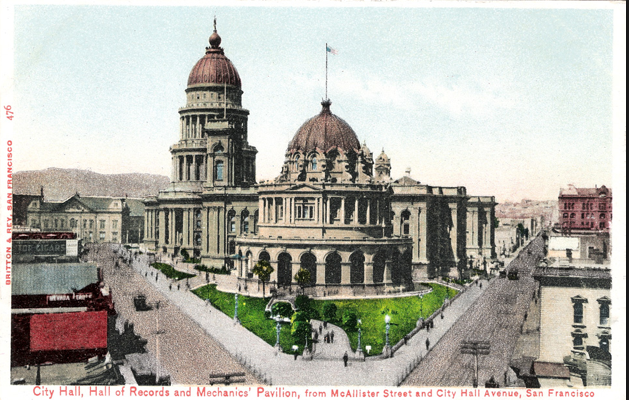
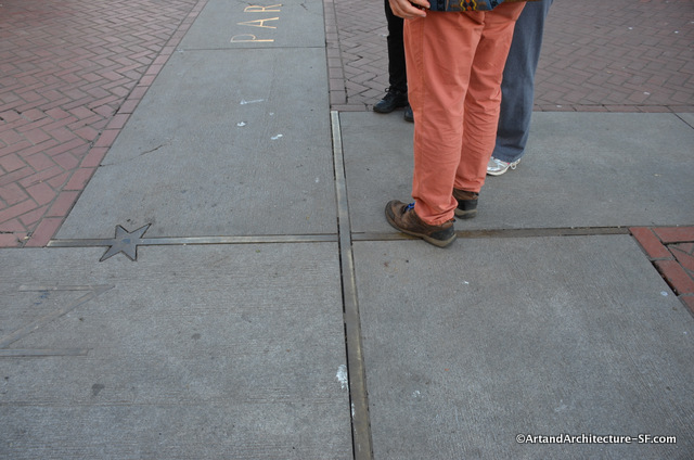 This is the spot used to measure the distance to and from the City of San Francisco to other cities around the world. Why here? Because this is where our original city hall once sat.
The Hall of records is the round building in the front, City Hall is the taller one in the back.
A common misconception is that distances shown on highway signs are always measured to the location of the main post office in the municipality. According to the USGS Geographic Names Information System (GNIS): “The primary point of a populated place is the center of original place, if known, such as the city or town hall, main post office, or town square regardless of changes over time.”
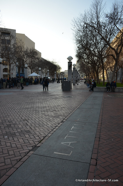
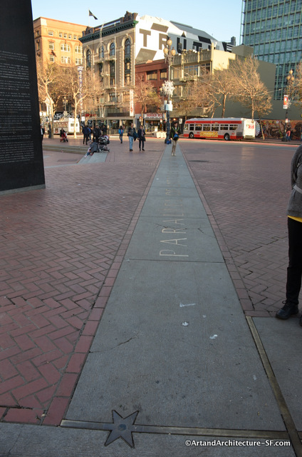
The “X” is easy to find if you follow the Longitude and Latitude markers that represent San Francisco’s place on the map.
The granite used in these pieces is the same Sierra Granite used to build city hall.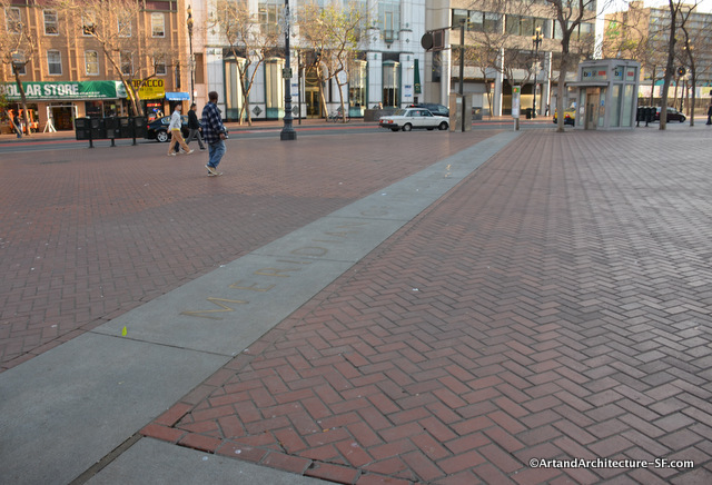
These items were part of the 1995 redesign of the UN Plaza to mark the 50th anniversary of the signing of the UN Charter around the corner in the Veterans War Memorial Building.
This redesign was done by landscape architect Andrew Detsch, of Berkeley, CA.
