Jan 272000
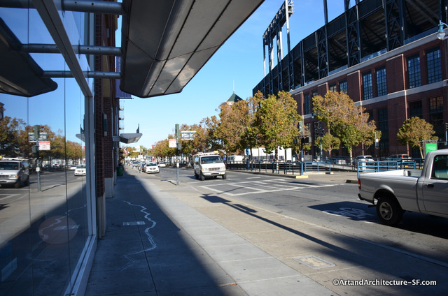
162 King Street
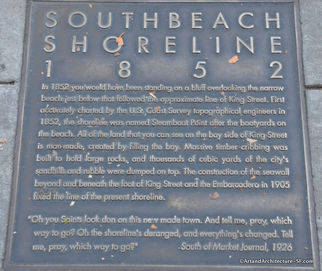
South Beach
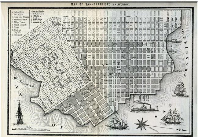
Here is a map of San Francisco prior to 1852.
In this map Townsend is the western-most street on the waterfront, one block northwest of King Street.
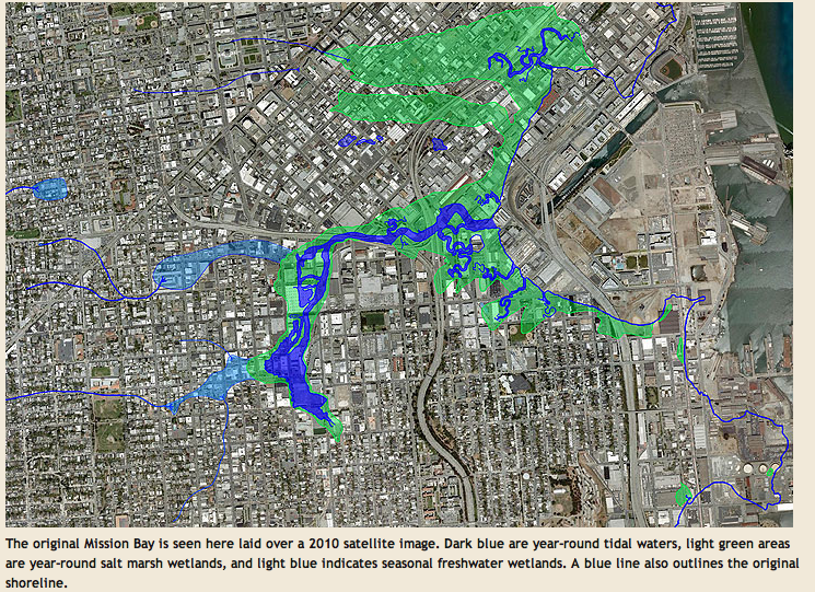
Thanks to Found SF and the Oakland Museum, you can see what the area looks like today:
If you are interested in more information about the water that lies under our fair city, I suggest you take one of Joel Pomerantz’s Thinkwalks. He is a local expert on the indigenous water of San Francisco, and gives fascinating tours around different parts of the city.
The waterfront art project is part of the San Francisco Art Commission for the Waterfront Transportation Projects.


