John McLaren Park
Mansell Drive and John F. Shelley Drive
Excelsior and Visitacion Valley
This is the view towards downtown San Francisco from John McLaren Park. Named for John McLaren, the superintendent of Golden Gate Park from 1887 to 1943, it is the second largest park in the city, after Golden Gate Park.
Within McLaren Park’s 312 acres are lawns and planted gardens, a lake and a reservoir, a golf course, picnic areas, playgrounds, baseball diamonds, basketball and tennis courts, an indoor swimming pool, a soccer field, dog play areas, and an amphitheater. Rich in native plants and animals, the park also contains 165 acres that have been designated a significant natural resource area and are managed by the Recreation and Parks Department’s Natural Areas Program.
Miles of paved and unpaved trails wind through and around McLaren Park’s rolling hills, many of them built during the Depression by the Works Progress Administration (WPA). You can hike through a variety of habitats, both native and introduced, including forests, grasslands, and marshy riparian areas, where springs feed Yosemite Creek.
In the 1840s, the land that is now McLaren Park was part of a rancho granted to a pioneer merchant by the Mexican government. In 1905, a subdivision was proposed for the area, but architect Daniel Burnham proposed setting the hilly areas aside for a public park. In 1926 the city’s Board of Supervisors began the process of creating the park, and in 1934 John McLaren took part in its dedication. In 1958, the final properties were purchased, bringing the park to its current size.
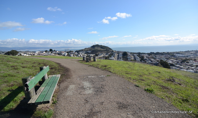 The view towards the bay, includes the San Francisco airport and the Cow Palace.
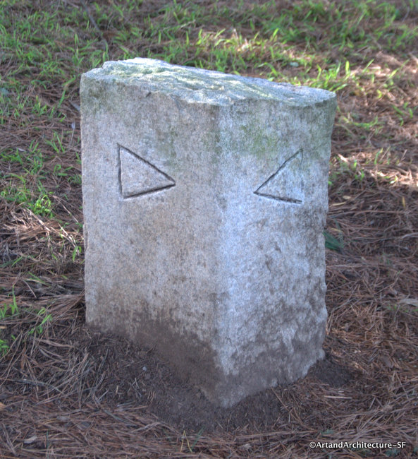
All through McLaren Park is a Philosophers walk. Designed by Peter Richards and Susan Schwatzenberg. The walk is a 2.7 mile loop around the parks perimeter and includes places to rest and view the landscape. Conducive to personal thought and contemplation the route was chosen to highlight the interrelationships between the area’s ecology, geography and history.
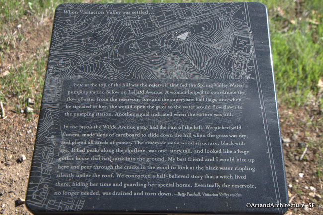 One of the many educational stops found along the Philosophers walk
Philosopher’s walks exist in many cities. In the hills above Heidelberg are trails where scholars and students walk, ponder and debate issues of the day. A path through the University of Toronto traces the route of an underground stream. A path along a canal in Kyoto is lined with cherry trees where Kitaro Nishada, an early 20th century philosopher walked in meditation.
*
Peter Richards is a long-term Artist in Residence at the Exploratorium (an innovative science museum in San Francisco, California) Peter shares his enthusiasm for nature and the elements through his work. His engaging outdoor public sculptures and immersive landscaped environments bring such phenomena as wind and tidal movement into a larger cultural context. Peter is responsible for the Wave Organ in the bay. He holds an MFA from the Rinehart School of Sculpture in Baltimore, Maryland and a BA in Art from Colorado College.
Susan Schwatzenberg is a senior artist at the Exploratorium, where she has been a curator, photographer, designer, and artist, and served as director of media. At the museum she has participated in many exhibit development and Web-based projects. She was a Loeb Fellow at the Harvard Graduate School of Design, and has taught at the San Francisco Art Institute, the California College of Art, and Stanford University.
Philosopher’s Way is a joint project of the San Francisco Arts Commission and the San Francisco Public Utilities Commission in connection with the replacement of the La Grande Water Tank located above the park reservoir, popularly known as the Blue Tower. Some architectural enhancements for the new tank were suggested but not implemented, and funds that might have been used on the tower building were made available for public art in the park. The project cost $145,000.
Here is a link to a map that covers the walk and all the “musing” stations.
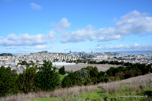
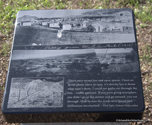
WOW! That’s quite a view!
A great place to get away from the city without having to go away!